M’Sila University participates in the local development of the State in cooperation with the National Institute of Maps and Remote Detection of the Ministry of National Defense.
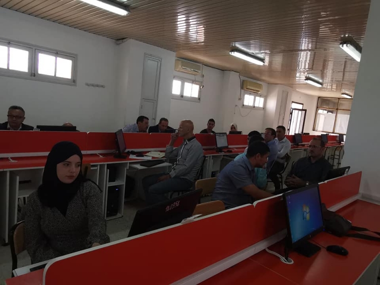
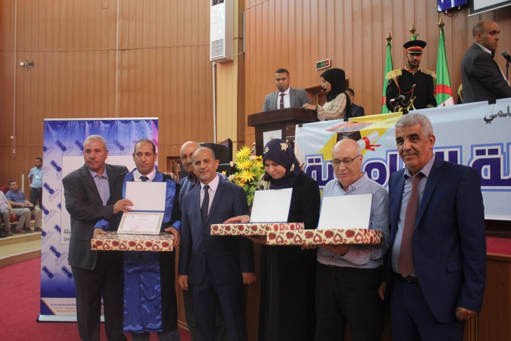
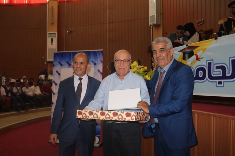
The University of M’Sila and the Institute of Urban Techniques in collaboration with the National Institute of Turners and the Algerian Space Agency have supervised the holding of the National Forum on Remote Sensing and Geomatics in accordance with the new perspective of urban management on 15/16 October 2019.
Management of natural hazards in the urban environment
Urban and Geomatics services
Heritage, urban sphere and application of urban technologies
Many researchers from the universities of the country, as well as PhD students in the specialization and students of the Institute participated in this forum
The speakers at the opening lectures were:
Dean: Jabbar M. from the National Institute of Maps
Ms. Hadj Kaddour and Mr. Saidi A of the Algerian Space Agency
And Mr. Dakhfi from the National Council for Geographic Information
The work of this Forum will culminate in the conclusion of a trilateral framework agreement between:
Local Communities of the State of M’Sila represented in the Governor of M’Sila Province and the President of the State People’s Assembly, the University of M’Sila represented by the Rector and the National Map Institute of the Ministry of National Defense. This agreement aims to use the modern techniques and technological means of the Ministry of National Defense to solve and sense some of the problems These include urban areas in the Algerian cities, and the municipality of Messila will be the first model experience in this area, to be circulated in the future to all municipalities of the state


